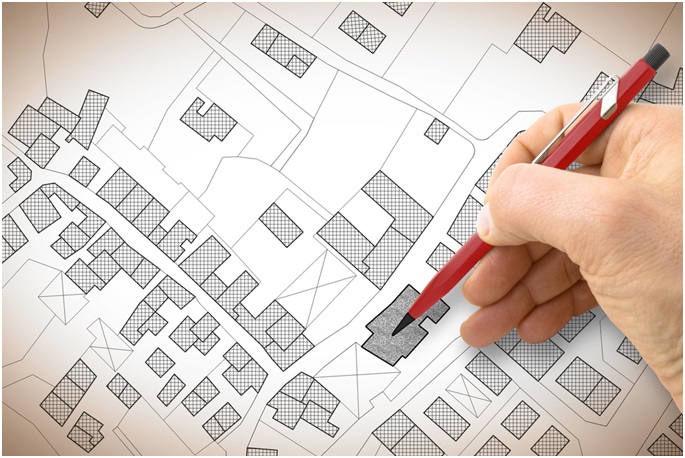
Land surveying is the process of measuring our environment and mapping out land with the aid of mathematical calculations, specialized equipment, and technology. Surveyors are trained to measure the environment: the Land, the sea, the polar ice-caps and even the sky.
There are different kinds of surveyors, but the most common types are the land surveyors. The land surveyors work both in the office and in the field. They are equipped with some of the latest technology equipment such as Total Robotic Stations, high order GPS, aerial and terrestrial scanners used in mapping out an area, taking photos and making computations. After gathering the necessary information on the field, surveyors then get to the office to make use of software like Auto-cad and Revit to come up with maps, layout and site measurements.
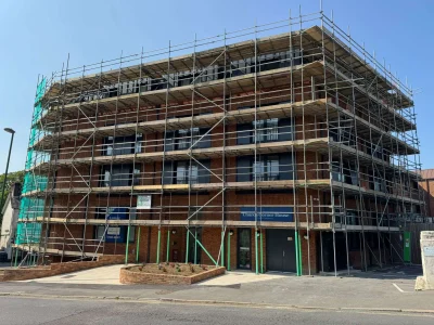
Surveyors handle a lot of projects, they manage from land subdivisions, bridge and road construction, mining exploration, and even tunnel construction. There are very important in all these projects because they are responsible for figuring out the land size and dimensions that are used by the architects, engineers and construction specialists.
Importance of Land Surveying
Surveyors are primarily responsible for land development. There are in-charge of the whole process of planning, development, and design of land and its subdivisions. They guide the process of road construction, utility development, and even landscaping. They provide the primary measurement used by architects in the process of planning the built environment and help the engineers with the plans they need to erect structures and make sure they sit right in the environment.
Surveyors are like the data holders of nature. They keep a record of the environment; they ensure planning and developments are under control and are carried out in the right manner. They measure, store, process data obtained from the environment. They make sure lands are used right as it is a limited resource that cannot be mismanaged.
Surveyors make the boundaries. They are responsible for creating properties and making sure people don’t cross them. They are responsible for providing the evidence required for proving the ownership of a property in cases of dispute or land settlements. An accurate survey ends a lot of misunderstanding when it comes to property ownership.
Properties are created from the division of larger pieces of land over the years. Without proper record-keeping, the risk of inadequate calculations may arise in the future, leading to abutting properties not matching with adjacent parcels which can in-turn leave overlaps and gaps. Surveyors make sure all these don’t happen. They make sure your property doesn’t suffer miscalculations, improper bonding, wildlife crossings, false titles and even easements.
The outcome could be the need to hire a number of services, such as http://adpgroupltd.com/vacuum-excavation. Unstable land is one such problem that can be found when attempting to buy a home.
Surveyors carry out different types of detailed research to solve problems before they are a problem. They are always behind the picture making sure they update the built environment and correct all the errors in older survey documents due to old methods of collecting information.
So if you have a property or intend owning one, you need a land survey to help you get all the necessary records for your property. You can talk to professionals and have them take care of all your land and utility surveying.


Comments